Pink house, West Road, Nottage
Introduction
The photograph on this page of Pink house, West Road, Nottage by Jaggery as part of the Geograph project.
The Geograph project started in 2005 with the aim of publishing, organising and preserving representative images for every square kilometre of Great Britain, Ireland and the Isle of Man.

There are currently over 7.5m images from over 14,400 individuals and you can help contribute to the project by visiting https://www.geograph.org.uk
Pink house, West Road, Nottage
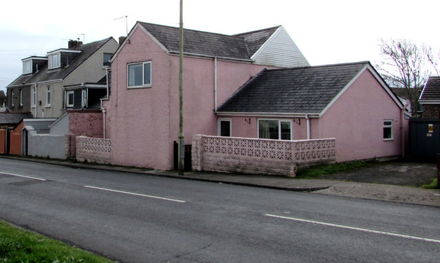
Image: © Jaggery Taken: 16 Mar 2017
The cabinet on the right http://www.geograph.org.uk/photo/5316641 is a Western Power Distribution electricity substation.
Images are licensed for reuse under creativecommons.org/licenses/by-sa/2.0
Image Location
Latitude
51.492803
Longitude
-3.708597