Crookham: Basingstoke Canal, Chequers Bridge
Introduction
The photograph on this page of Crookham: Basingstoke Canal, Chequers Bridge by Dr Neil Clifton as part of the Geograph project.
The Geograph project started in 2005 with the aim of publishing, organising and preserving representative images for every square kilometre of Great Britain, Ireland and the Isle of Man.

There are currently over 7.5m images from over 14,400 individuals and you can help contribute to the project by visiting https://www.geograph.org.uk
Crookham: Basingstoke Canal, Chequers Bridge
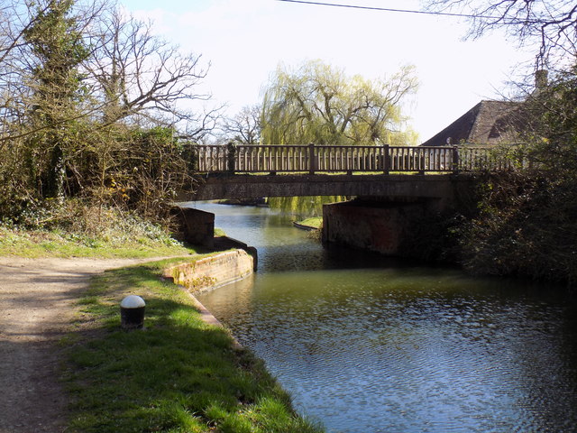
Image: © Dr Neil Clifton Taken: 21 Mar 2017
Looking east. The towpath beneath the bridge has very little headroom, but walkers can avoid this by crossing the minor (though quite busy) road
Images are licensed for reuse under creativecommons.org/licenses/by-sa/2.0
Image Location
Latitude
51.260857
Longitude
-0.866187