Station House next to the Brampton Valley Way
Introduction
The photograph on this page of Station House next to the Brampton Valley Way by Mat Fascione as part of the Geograph project.
The Geograph project started in 2005 with the aim of publishing, organising and preserving representative images for every square kilometre of Great Britain, Ireland and the Isle of Man.

There are currently over 7.5m images from over 14,400 individuals and you can help contribute to the project by visiting https://www.geograph.org.uk
Station House next to the Brampton Valley Way
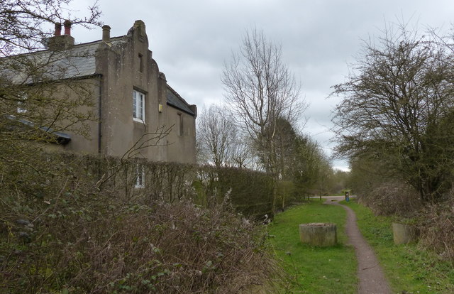
Image: © Mat Fascione Taken: 19 Mar 2017
The site of the former Lamport railway station. The Brampton Valley Way is a 14-mile (23 km) path and cycleway, it is built on the former Northampton to Market Harborough Railway, the railway line was closed in 1981.
Images are licensed for reuse under creativecommons.org/licenses/by-sa/2.0
Image Location
Latitude
52.369533
Longitude
-0.898682