Ford through the Coe Burn
Introduction
The photograph on this page of Ford through the Coe Burn by Russel Wills as part of the Geograph project.
The Geograph project started in 2005 with the aim of publishing, organising and preserving representative images for every square kilometre of Great Britain, Ireland and the Isle of Man.

There are currently over 7.5m images from over 14,400 individuals and you can help contribute to the project by visiting https://www.geograph.org.uk
Ford through the Coe Burn
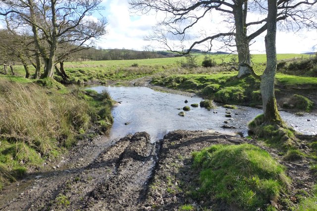
Image: © Russel Wills Taken: 19 Mar 2017
On the public byway from Low Broomepark to High Learchild. The rudimentary stepping stones did not appeal!
Images are licensed for reuse under creativecommons.org/licenses/by-sa/2.0
Image Location


Leaflet Map data © OpenStreetMap
Latitude
55.392406
Longitude
-1.842895