All Saints' Snodland with Christ Church Lower Birling
Introduction
The photograph on this page of All Saints' Snodland with Christ Church Lower Birling by Stefan Czapski as part of the Geograph project.
The Geograph project started in 2005 with the aim of publishing, organising and preserving representative images for every square kilometre of Great Britain, Ireland and the Isle of Man.

There are currently over 7.5m images from over 14,400 individuals and you can help contribute to the project by visiting https://www.geograph.org.uk
All Saints' Snodland with Christ Church Lower Birling
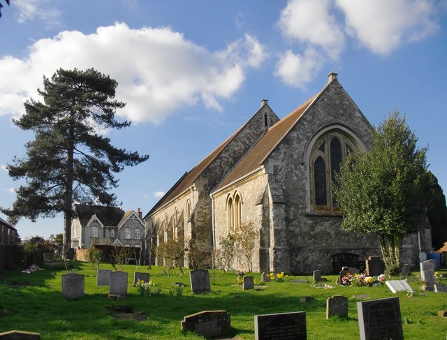
Image: © Stefan Czapski Taken: 15 Mar 2017
Seen from the east. The curious name of the church is explained in Richard Dorrell's contribution: Image
Images are licensed for reuse under creativecommons.org/licenses/by-sa/2.0
Image Location
Latitude
51.324542
Longitude
0.440618