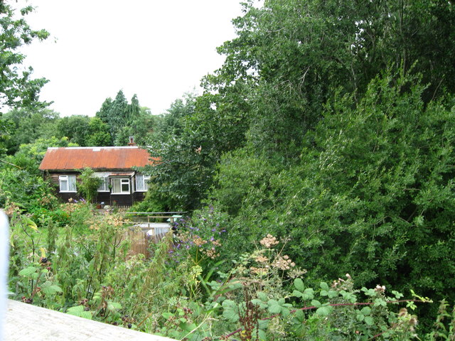
Kinnerley Junction obscured - Edgerley, Shropshire
Introduction
The photograph on this page of Kinnerley Junction obscured - Edgerley, Shropshire by Martin Richard Phelan as part of the Geograph project.
The Geograph project started in 2005 with the aim of publishing, organising and preserving representative images for every square kilometre of Great Britain, Ireland and the Isle of Man.
There are currently over 7.5m images from over 14,400 individuals and you can help contribute to the project by visiting https://www.geograph.org.uk

Image: © Martin Richard Phelan Taken: 17 Aug 2013
Looking out from the railway bridge at Kinnerley Junction. This bridge straddled the now almost vanished Shropshire and Montgomeryshire Railway, known as The Potts. This was from the original company Potteries Shrewsbury and North Wales Railway which later became the Shropshire and Montgomeryshire Railway and was intended to link the Potteries area of Staffordshire with Dublin in the Irish Republic. The line opened in 1866 and finally closed in 1962 having been in private and military ownership during its lifetime. Kinnerley Junction station opened in 1911 and closed in 1933. From this point there was a 5 mile branch to a quarry at Criggion. The land on this route is private and there is no public access. Taken at 3.09 pm BST (British Summer Time). Image Image Image Image

