Northbourne: footpath E55 enters an alleyway
Introduction
The photograph on this page of Northbourne: footpath E55 enters an alleyway by Chris Downer as part of the Geograph project.
The Geograph project started in 2005 with the aim of publishing, organising and preserving representative images for every square kilometre of Great Britain, Ireland and the Isle of Man.

There are currently over 7.5m images from over 14,400 individuals and you can help contribute to the project by visiting https://www.geograph.org.uk
Northbourne: footpath E55 enters an alleyway
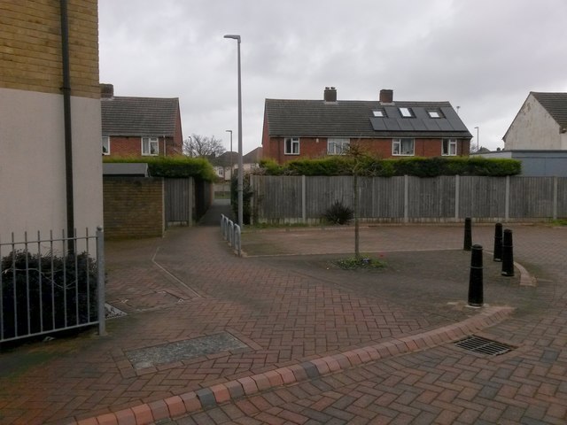
Image: © Chris Downer Taken: 19 Mar 2017
This public footpath from Western Avenue follows the course of Etches Close (to our left), a recent cul-de-sac built on vacant land through which the path previously ran. Etches Close continues a few yards further to our right, while the path heads through the alleyway ahead onto Leybourne Avenue. See Image for the emergence onto the road ahead, and Image for the view along Etches Close to our left, with links to further photos along the route.
Images are licensed for reuse under creativecommons.org/licenses/by-sa/2.0
Image Location
Latitude
50.76336
Longitude
-1.891339