Salvation Army Citadel, High Wycombe
Introduction
The photograph on this page of Salvation Army Citadel, High Wycombe by David Hillas as part of the Geograph project.
The Geograph project started in 2005 with the aim of publishing, organising and preserving representative images for every square kilometre of Great Britain, Ireland and the Isle of Man.

There are currently over 7.5m images from over 14,400 individuals and you can help contribute to the project by visiting https://www.geograph.org.uk
Salvation Army Citadel, High Wycombe
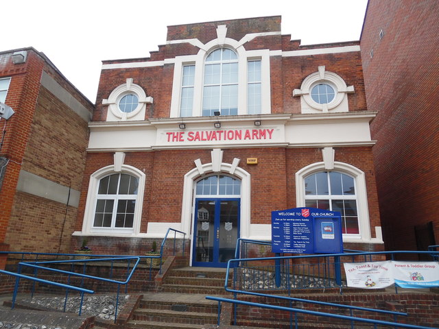
Image: © David Hillas Taken: 16 Mar 2017
Situated in Frogmoor HP13 5DG, this citadel has each Sunday morning services at 10.30am and afternoon services at 4.30pm. Activities also take place here during the week.
Images are licensed for reuse under creativecommons.org/licenses/by-sa/2.0
Image Location
Latitude
51.63161
Longitude
-0.752362