Westbourne: footpath A02 from the Upper Gardens
Introduction
The photograph on this page of Westbourne: footpath A02 from the Upper Gardens by Chris Downer as part of the Geograph project.
The Geograph project started in 2005 with the aim of publishing, organising and preserving representative images for every square kilometre of Great Britain, Ireland and the Isle of Man.

There are currently over 7.5m images from over 14,400 individuals and you can help contribute to the project by visiting https://www.geograph.org.uk
Westbourne: footpath A02 from the Upper Gardens
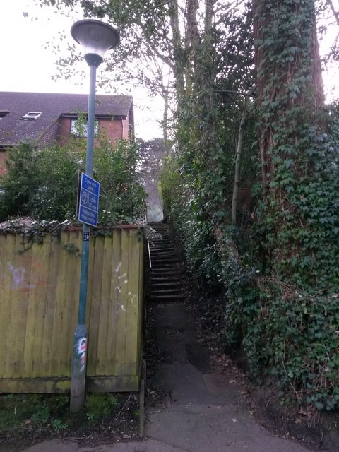
Image: © Chris Downer Taken: 18 Mar 2017
This is one of several little public footpaths coming down from (in this case) Surrey Road onto the Upper Gardens. A little cloud of dust can be seen at the top of the path, in the wake of a lorry that has just driven past. See Image for the view towards us from some way up the steps, and Image for a wider view from behind us.
Images are licensed for reuse under creativecommons.org/licenses/by-sa/2.0
Image Location


Leaflet Map data © OpenStreetMap
Latitude
50.72677
Longitude
-1.902474