The Murroch Burn at Kilmalid
Introduction
The photograph on this page of The Murroch Burn at Kilmalid by Lairich Rig as part of the Geograph project.
The Geograph project started in 2005 with the aim of publishing, organising and preserving representative images for every square kilometre of Great Britain, Ireland and the Isle of Man.

There are currently over 7.5m images from over 14,400 individuals and you can help contribute to the project by visiting https://www.geograph.org.uk
The Murroch Burn at Kilmalid
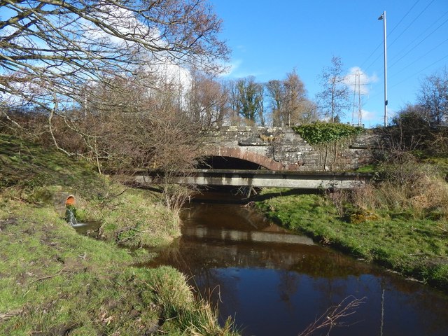
Image: © Lairich Rig Taken: 5 Mar 2017
The subject is as in Image, but the view is from the area that is, in that picture, at the far left. The bridge that takes Stirling Road over the burn is visible in both pictures. For the reverse view, looking back to this spot from the bridge, see Image For a view under the bridge, from this side, see Image
Images are licensed for reuse under creativecommons.org/licenses/by-sa/2.0
Image Location
Latitude
55.96289
Longitude
-4.56415