View across the Drumnahunshin Road to the valley of the Black Water
Introduction
The photograph on this page of View across the Drumnahunshin Road to the valley of the Black Water by Eric Jones as part of the Geograph project.
The Geograph project started in 2005 with the aim of publishing, organising and preserving representative images for every square kilometre of Great Britain, Ireland and the Isle of Man.

There are currently over 7.5m images from over 14,400 individuals and you can help contribute to the project by visiting https://www.geograph.org.uk
View across the Drumnahunshin Road to the valley of the Black Water
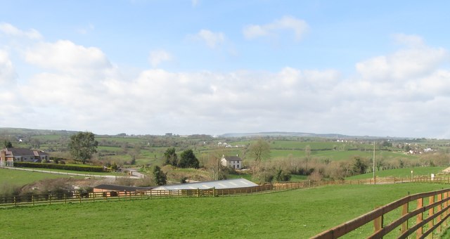
Image: © Eric Jones Taken: 14 Mar 2017
One of a number of rivers in Co Armagh sharing the name Black Water, this particular Black Water is a tributary of the Cusher River, which itself is a tributary of the Upper Bann. The image was taken from the Kingsmill Road.
Images are licensed for reuse under creativecommons.org/licenses/by-sa/2.0
Image Location
Latitude
54.214391
Longitude
-6.466061