Bunker on Kilnwick Percy Golf Course
Introduction
The photograph on this page of Bunker on Kilnwick Percy Golf Course by Martin Dawes as part of the Geograph project.
The Geograph project started in 2005 with the aim of publishing, organising and preserving representative images for every square kilometre of Great Britain, Ireland and the Isle of Man.

There are currently over 7.5m images from over 14,400 individuals and you can help contribute to the project by visiting https://www.geograph.org.uk
Bunker on Kilnwick Percy Golf Course
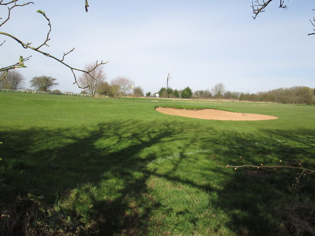
Image: © Martin Dawes Taken: 15 Mar 2017
The white posts on the left are the plastic sleeves around young hedge saplings, probably to protect the end of the golfcourse. I am on the footpath which is also the route of the Chalklands Way and the Wilberforce Way.
Images are licensed for reuse under creativecommons.org/licenses/by-sa/2.0
Image Location
Latitude
53.935255
Longitude
-0.764046