Farm building at Nabend
Introduction
The photograph on this page of Farm building at Nabend by Christine Johnstone as part of the Geograph project.
The Geograph project started in 2005 with the aim of publishing, organising and preserving representative images for every square kilometre of Great Britain, Ireland and the Isle of Man.

There are currently over 7.5m images from over 14,400 individuals and you can help contribute to the project by visiting https://www.geograph.org.uk
Farm building at Nabend
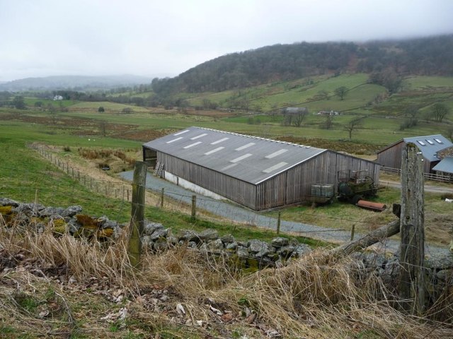
Image: © Christine Johnstone Taken: 10 Mar 2017
Low cloud is obscuring some of the trees on Great Mell Fell. The farm building is about 280 metres above sea level, the cloud cover about 400.
Images are licensed for reuse under creativecommons.org/licenses/by-sa/2.0
Image Location
Latitude
54.61754
Longitude
-2.909275