Water Research Centre, Frankland Road, Swindon
Introduction
The photograph on this page of Water Research Centre, Frankland Road, Swindon by Brian Robert Marshall as part of the Geograph project.
The Geograph project started in 2005 with the aim of publishing, organising and preserving representative images for every square kilometre of Great Britain, Ireland and the Isle of Man.

There are currently over 7.5m images from over 14,400 individuals and you can help contribute to the project by visiting https://www.geograph.org.uk
Water Research Centre, Frankland Road, Swindon
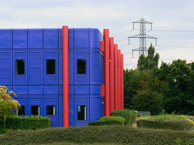
Image: © Brian Robert Marshall Taken: 20 Aug 2007
The WRc (as it now is) building sits on the gridline between this square and the next one north. This view is parallel with the northern gridline of this square. Everything to the right of the red component on the front elevation is in this square as is the viewpoint.
Images are licensed for reuse under creativecommons.org/licenses/by-sa/2.0
Image Location


Leaflet Map data © OpenStreetMap
Latitude
51.545685
Longitude
-1.832385