Low Hills Lane, Quarmby
Introduction
The photograph on this page of Low Hills Lane, Quarmby by Humphrey Bolton as part of the Geograph project.
The Geograph project started in 2005 with the aim of publishing, organising and preserving representative images for every square kilometre of Great Britain, Ireland and the Isle of Man.

There are currently over 7.5m images from over 14,400 individuals and you can help contribute to the project by visiting https://www.geograph.org.uk
Low Hills Lane, Quarmby
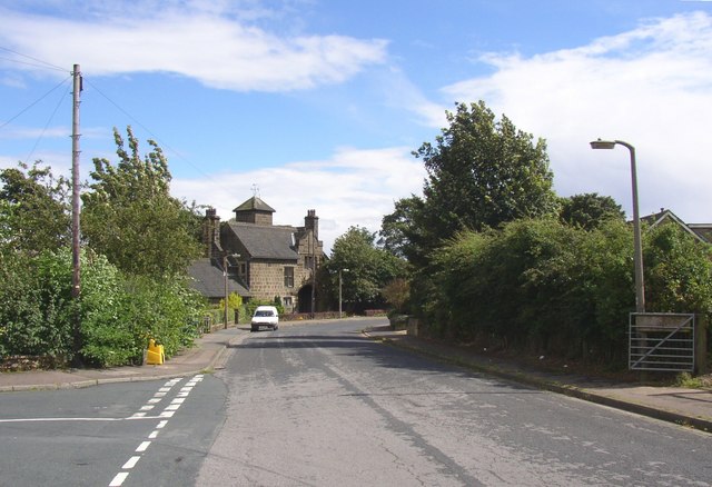
Image: © Humphrey Bolton Taken: 16 Aug 2007
This was originally Crosland Road, before the latter name was given to a new straight road across the curve of the old one. The Gatehouse is at the corner (see other photograph).
Images are licensed for reuse under creativecommons.org/licenses/by-sa/2.0
Image Location
Latitude
53.658373
Longitude
-1.832002