Boundary wall of former infantry barracks, Cutpurse Lane
Introduction
The photograph on this page of Boundary wall of former infantry barracks, Cutpurse Lane by Roger Templeman as part of the Geograph project.
The Geograph project started in 2005 with the aim of publishing, organising and preserving representative images for every square kilometre of Great Britain, Ireland and the Isle of Man.

There are currently over 7.5m images from over 14,400 individuals and you can help contribute to the project by visiting https://www.geograph.org.uk
Boundary wall of former infantry barracks, Cutpurse Lane
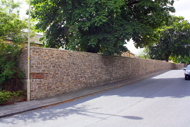
Image: © Roger Templeman Taken: 18 Aug 2016
The boundary marker stone at the wall angle bears the inscription 'No. 7 FACE OF WALL NORTH'. There is an OS benchmark Image on the wall about 5m right of the wall angle.
Images are licensed for reuse under creativecommons.org/licenses/by-sa/2.0
Image Location
Latitude
54.411621
Longitude
-1.730179