Road, Sauchenford
Introduction
The photograph on this page of Road, Sauchenford by Richard Webb as part of the Geograph project.
The Geograph project started in 2005 with the aim of publishing, organising and preserving representative images for every square kilometre of Great Britain, Ireland and the Isle of Man.

There are currently over 7.5m images from over 14,400 individuals and you can help contribute to the project by visiting https://www.geograph.org.uk
Road, Sauchenford
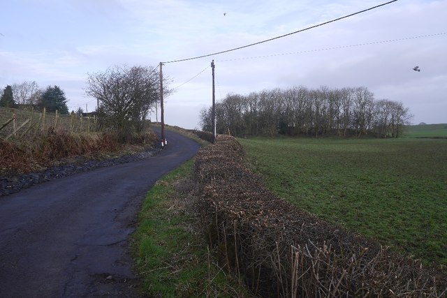
Image: © Richard Webb Taken: 15 Mar 2017
The road has long been a cul-de-sac with the road cut by the M9. The two halves of Sauchenford are now very far apart.
Images are licensed for reuse under creativecommons.org/licenses/by-sa/2.0
Image Location
Latitude
56.07228
Longitude
-3.89784