Lyndale Avenue
Introduction
The photograph on this page of Lyndale Avenue by Jonathan Thacker as part of the Geograph project.
The Geograph project started in 2005 with the aim of publishing, organising and preserving representative images for every square kilometre of Great Britain, Ireland and the Isle of Man.

There are currently over 7.5m images from over 14,400 individuals and you can help contribute to the project by visiting https://www.geograph.org.uk
Lyndale Avenue
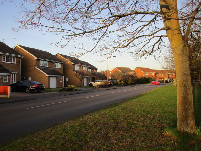
Image: © Jonathan Thacker Taken: 14 Mar 2017
The houses face an open space and belt of trees which create a barrier against the busy A630.
Images are licensed for reuse under creativecommons.org/licenses/by-sa/2.0
Image Location
Latitude
53.547747
Longitude
-1.071183