No Man's Moor Lane approaching junction of road to Hutton Hang
Introduction
The photograph on this page of No Man's Moor Lane approaching junction of road to Hutton Hang by Roger Templeman as part of the Geograph project.
The Geograph project started in 2005 with the aim of publishing, organising and preserving representative images for every square kilometre of Great Britain, Ireland and the Isle of Man.

There are currently over 7.5m images from over 14,400 individuals and you can help contribute to the project by visiting https://www.geograph.org.uk
No Man's Moor Lane approaching junction of road to Hutton Hang
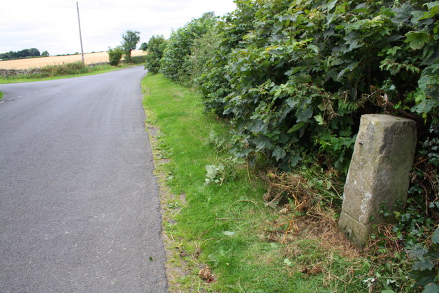
Image: © Roger Templeman Taken: 14 Aug 2016
There are two OS benchmarks Image on the base of the stone guide post in the right foreground
Images are licensed for reuse under creativecommons.org/licenses/by-sa/2.0
Image Location
Latitude
54.29622
Longitude
-1.727707