A Stanton air raid shelter from WW2
Introduction
The photograph on this page of A Stanton air raid shelter from WW2 by Evelyn Simak as part of the Geograph project.
The Geograph project started in 2005 with the aim of publishing, organising and preserving representative images for every square kilometre of Great Britain, Ireland and the Isle of Man.

There are currently over 7.5m images from over 14,400 individuals and you can help contribute to the project by visiting https://www.geograph.org.uk
A Stanton air raid shelter from WW2
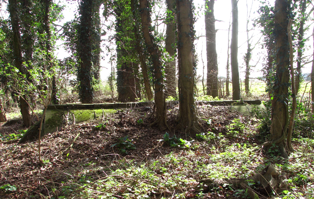
Image: © Evelyn Simak Taken: 13 Mar 2017
It has survived on the WAAF Site 2 of RAF Snetterton Heath/USAAF Station 138, which was an active airfield for some time during WW2 > http://www.geograph.org.uk/article/RAF-Snetterton-Heath---USAAF-Station-138.
Images are licensed for reuse under creativecommons.org/licenses/by-sa/2.0
Image Location
Latitude
52.456895
Longitude
0.978986