Juniper Way off Hurricane Way
Introduction
The photograph on this page of Juniper Way off Hurricane Way by John Baker as part of the Geograph project.
The Geograph project started in 2005 with the aim of publishing, organising and preserving representative images for every square kilometre of Great Britain, Ireland and the Isle of Man.

There are currently over 7.5m images from over 14,400 individuals and you can help contribute to the project by visiting https://www.geograph.org.uk
Juniper Way off Hurricane Way
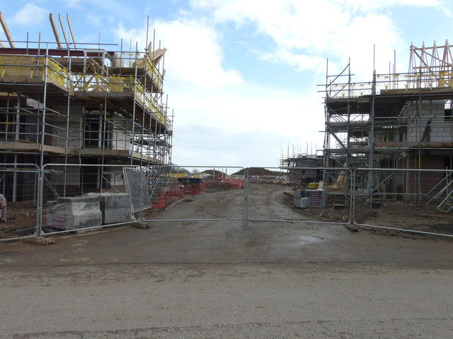
Image: © John Baker Taken: 5 Mar 2017
Planning permission was approved, with conditions, by Folkestone and Hythe District Council under application number Y14/0336/SH for the “erection of retirement village (C2 use) providing 61 cottages, 50 apartments and associated 3 storey administrative building being details of access, appearance, landscaping, layout and scale pursuant to outline planning permission Y10/0738/SH”. The road’s entrance can be seen in the view of Image, just beyond the second noticeboard on the verge.
Images are licensed for reuse under creativecommons.org/licenses/by-sa/2.0
Image Location
Latitude
51.110441
Longitude
1.159737