Development, Moor Lane (2)
Introduction
The photograph on this page of Development, Moor Lane (2) by Stephen Richards as part of the Geograph project.
The Geograph project started in 2005 with the aim of publishing, organising and preserving representative images for every square kilometre of Great Britain, Ireland and the Isle of Man.

There are currently over 7.5m images from over 14,400 individuals and you can help contribute to the project by visiting https://www.geograph.org.uk
Development, Moor Lane (2)
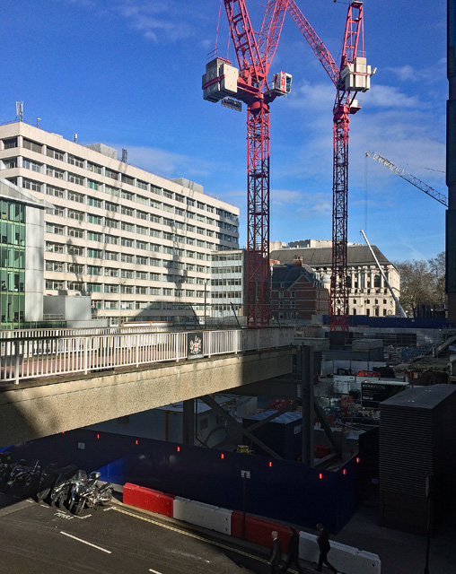
Image: © Stephen Richards Taken: 13 Mar 2017
This building Image] has gone in the cause of a western entrance to the new Liverpool Street Crossrail station, and the usual shops and offices will spring up (101 Moorgate). The highwalk now goes nowhere - will it be reinstated? The big block behind is Image
Images are licensed for reuse under creativecommons.org/licenses/by-sa/2.0
Image Location
Latitude
51.518574
Longitude
-0.09028