Reddings and District Community Centre
Introduction
The photograph on this page of Reddings and District Community Centre by Stephen Bowden as part of the Geograph project.
The Geograph project started in 2005 with the aim of publishing, organising and preserving representative images for every square kilometre of Great Britain, Ireland and the Isle of Man.

There are currently over 7.5m images from over 14,400 individuals and you can help contribute to the project by visiting https://www.geograph.org.uk
Reddings and District Community Centre
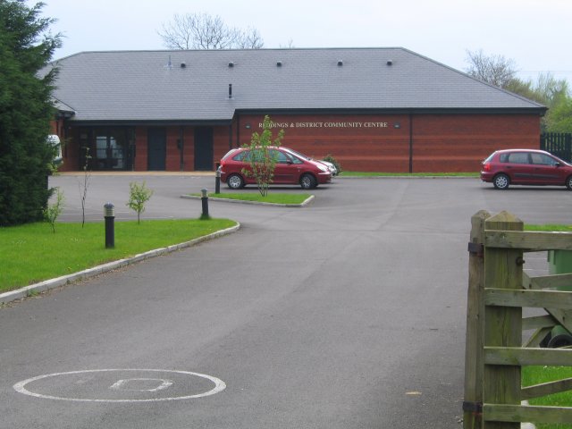
Image: © Stephen Bowden Taken: 23 Apr 2005
This modern community centre is just south of the A40 in the part of Cheltenham known as The Reddings.
Images are licensed for reuse under creativecommons.org/licenses/by-sa/2.0
Image Location


Leaflet Map data © OpenStreetMap
Latitude
51.89197
Longitude
-2.139452