Water trough along a field boundary, east of Glebelands
Introduction
The photograph on this page of Water trough along a field boundary, east of Glebelands by Christine Johnstone as part of the Geograph project.
The Geograph project started in 2005 with the aim of publishing, organising and preserving representative images for every square kilometre of Great Britain, Ireland and the Isle of Man.

There are currently over 7.5m images from over 14,400 individuals and you can help contribute to the project by visiting https://www.geograph.org.uk
Water trough along a field boundary, east of Glebelands
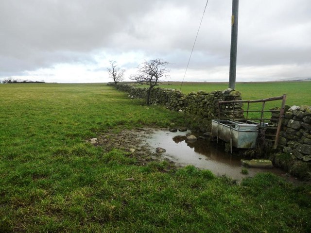
Image: © Christine Johnstone Taken: 16 Feb 2017
On the west side of the road between Knock and Knock Cross, about 185 metres above sea level.
Images are licensed for reuse under creativecommons.org/licenses/by-sa/2.0
Image Location
Latitude
54.633645
Longitude
-2.506693