Water supply on Dufton's Green
Introduction
The photograph on this page of Water supply on Dufton's Green by Christine Johnstone as part of the Geograph project.
The Geograph project started in 2005 with the aim of publishing, organising and preserving representative images for every square kilometre of Great Britain, Ireland and the Isle of Man.

There are currently over 7.5m images from over 14,400 individuals and you can help contribute to the project by visiting https://www.geograph.org.uk
Water supply on Dufton's Green
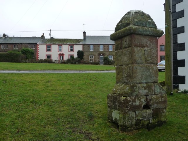
Image: © Christine Johnstone Taken: 16 Feb 2017
The Quaker-owned London Lead Company operated the local mines in the 1800s and installed piped water in the village. This was probably a public tap.
Images are licensed for reuse under creativecommons.org/licenses/by-sa/2.0
Image Location
Latitude
54.620346
Longitude
-2.484382