Lennox Road, Milton
Introduction
The photograph on this page of Lennox Road, Milton by Lairich Rig as part of the Geograph project.
The Geograph project started in 2005 with the aim of publishing, organising and preserving representative images for every square kilometre of Great Britain, Ireland and the Isle of Man.

There are currently over 7.5m images from over 14,400 individuals and you can help contribute to the project by visiting https://www.geograph.org.uk
Lennox Road, Milton
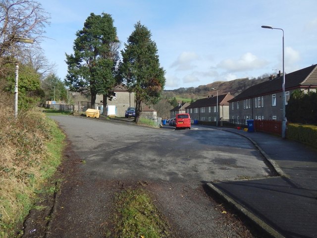
Image: © Lairich Rig Taken: 1 Mar 2017
After passing the western end of Image, a path that is part of a route called the Crags Circular Path passes the western end of Lennox Road, shown here on the right. See Image for a later picture (taken the following year). The path continues, with houses to the right, and a field to the left (see the 1:25000 map). The path itself can be seen swinging off to the left. For a view from further ahead, see Image
Images are licensed for reuse under creativecommons.org/licenses/by-sa/2.0
Image Location
Latitude
55.936848
Longitude
-4.523837