Colquhoun Road, Milton
Introduction
The photograph on this page of Colquhoun Road, Milton by Lairich Rig as part of the Geograph project.
The Geograph project started in 2005 with the aim of publishing, organising and preserving representative images for every square kilometre of Great Britain, Ireland and the Isle of Man.

There are currently over 7.5m images from over 14,400 individuals and you can help contribute to the project by visiting https://www.geograph.org.uk
Colquhoun Road, Milton
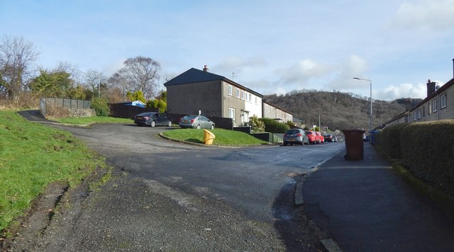
Image: © Lairich Rig Taken: 1 Mar 2017
The view is from further along a path that is shown in Image That path is part of a route called the Crags Circular Path; it does not follow Colquhoun Road, but instead continues along the path that can be seen at the far left in the present picture. See Image for a similar view, a year and some months later. Not far uphill, the path passes the end of Image, but, again, does not follow the road. Relative to the present view, there is, out of shot to the left, a signpost beside the path: Image There is also a stile beside that signpost, leading into an adjacent field; the path, though, does not enter that field: Image
Images are licensed for reuse under creativecommons.org/licenses/by-sa/2.0
Image Location
Latitude
55.9363
Longitude
-4.524281