Hornsey/ Wood Green Parish Boundary markers
Introduction
The photograph on this page of Hornsey/ Wood Green Parish Boundary markers by John Kingdon as part of the Geograph project.
The Geograph project started in 2005 with the aim of publishing, organising and preserving representative images for every square kilometre of Great Britain, Ireland and the Isle of Man.

There are currently over 7.5m images from over 14,400 individuals and you can help contribute to the project by visiting https://www.geograph.org.uk
Hornsey/ Wood Green Parish Boundary markers
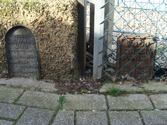
Image: © John Kingdon Taken: 2 Mar 2017
Arnold Bennett Way N8 is a footpath between Alexandra Road and Burghley Road. The nineteenth century Parish markers go almost unnoticed.
Images are licensed for reuse under creativecommons.org/licenses/by-sa/2.0
Image Location
Latitude
51.592051
Longitude
-0.107412