The Crags Circular Path at Milton
Introduction
The photograph on this page of The Crags Circular Path at Milton by Lairich Rig as part of the Geograph project.
The Geograph project started in 2005 with the aim of publishing, organising and preserving representative images for every square kilometre of Great Britain, Ireland and the Isle of Man.

There are currently over 7.5m images from over 14,400 individuals and you can help contribute to the project by visiting https://www.geograph.org.uk
The Crags Circular Path at Milton
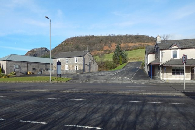
Image: © Lairich Rig Taken: 1 Mar 2017
The path shown branching off to the right from the Image leads to the point, beside the A82, from which this picture was taken. That path and its continuation on the other side of the road are part of a route called the Crags Circular Path. On the other side of the road, the route follows the short section of road that leads uphill, and then turns to the right (as shown in Image), continuing as a signposted path, mostly through woodland, to emerge on Milton Brae. For the other end of the path, see Image
Images are licensed for reuse under creativecommons.org/licenses/by-sa/2.0
Image Location
Latitude
55.935469
Longitude
-4.525348