Eurocentral and Newhouse Industrial Estate from the air
Introduction
The photograph on this page of Eurocentral and Newhouse Industrial Estate from the air by Thomas Nugent as part of the Geograph project.
The Geograph project started in 2005 with the aim of publishing, organising and preserving representative images for every square kilometre of Great Britain, Ireland and the Isle of Man.

There are currently over 7.5m images from over 14,400 individuals and you can help contribute to the project by visiting https://www.geograph.org.uk
Eurocentral and Newhouse Industrial Estate from the air
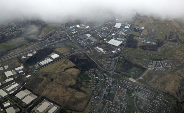
Image: © Thomas Nugent Taken: 24 Feb 2017
Eurocentral is on the left. The A8 dual carriageway (soon to become the M8 motorway) runs between the roundabouts at the top left.
Images are licensed for reuse under creativecommons.org/licenses/by-sa/2.0
Image Location
Latitude
55.823328
Longitude
-3.973499