Alterations to Comarques, 122, High Street
Introduction
The photograph on this page of Alterations to Comarques, 122, High Street by John Baker as part of the Geograph project.
The Geograph project started in 2005 with the aim of publishing, organising and preserving representative images for every square kilometre of Great Britain, Ireland and the Isle of Man.

There are currently over 7.5m images from over 14,400 individuals and you can help contribute to the project by visiting https://www.geograph.org.uk
Alterations to Comarques, 122, High Street
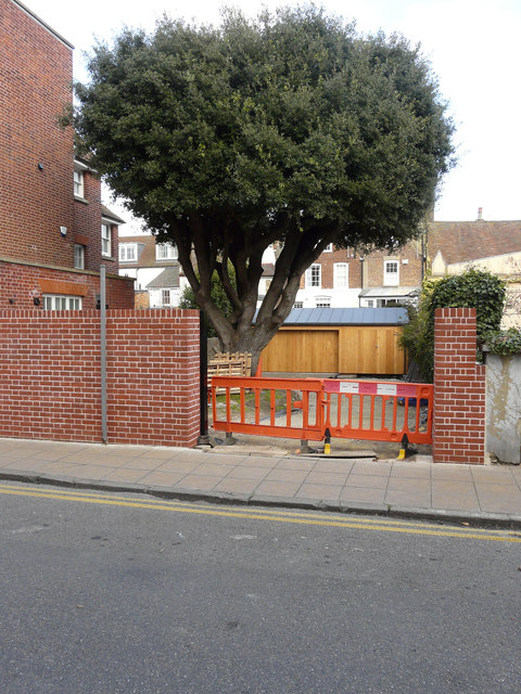
Image: © John Baker Taken: 26 Feb 2017
Planning permission was granted by Dover District Council under application number DOV/12/00493 for the “erection of single storey side extension, alterations to existing, new windows and French doors to side and rear elevations, extension of existing garage, raising and repair to boundary wall, internal alterations”. Chris Whippet’s Image shows the whole house and original boundary wall, from another angle.
Images are licensed for reuse under creativecommons.org/licenses/by-sa/2.0
Image Location
Latitude
51.226132
Longitude
1.402742