Path from Crowtrees Lane to Jumble Dyke, Rastrick
Introduction
The photograph on this page of Path from Crowtrees Lane to Jumble Dyke, Rastrick by Humphrey Bolton as part of the Geograph project.
The Geograph project started in 2005 with the aim of publishing, organising and preserving representative images for every square kilometre of Great Britain, Ireland and the Isle of Man.

There are currently over 7.5m images from over 14,400 individuals and you can help contribute to the project by visiting https://www.geograph.org.uk
Path from Crowtrees Lane to Jumble Dyke, Rastrick
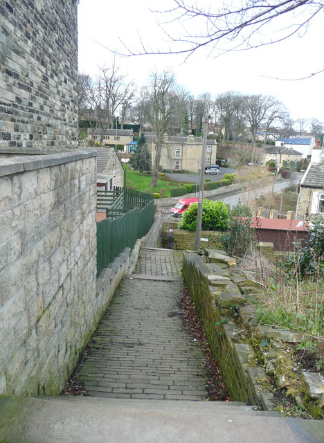
Image: © Humphrey Bolton Taken: 6 Mar 2017
See also Image for an earlier view. This path is not designated as a public footpath, but is well used and obviously a public way. Despite this the landowner closed in a fenced it off, causing a public outcry. Fortunately the council found enough evidence for it to be classed as a public highway, and it was re-opened.
Images are licensed for reuse under creativecommons.org/licenses/by-sa/2.0
Image Location
Latitude
53.69022
Longitude
-1.792806