Stapleton Road
Introduction
The photograph on this page of Stapleton Road by Richard Webb as part of the Geograph project.
The Geograph project started in 2005 with the aim of publishing, organising and preserving representative images for every square kilometre of Great Britain, Ireland and the Isle of Man.

There are currently over 7.5m images from over 14,400 individuals and you can help contribute to the project by visiting https://www.geograph.org.uk
Stapleton Road
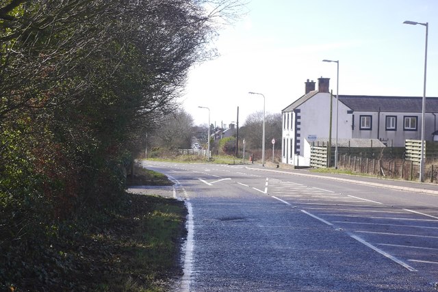
Image: © Richard Webb Taken: 5 Mar 2017
The road now has a new alignment after it passes Windermere, the original Galaberry carries on dead straight and can be accessed by a path at this end.
Images are licensed for reuse under creativecommons.org/licenses/by-sa/2.0
Image Location
Latitude
54.992358
Longitude
-3.237683