Trehafod Memorial Hall and Institute
Introduction
The photograph on this page of Trehafod Memorial Hall and Institute by Alan Hughes as part of the Geograph project.
The Geograph project started in 2005 with the aim of publishing, organising and preserving representative images for every square kilometre of Great Britain, Ireland and the Isle of Man.

There are currently over 7.5m images from over 14,400 individuals and you can help contribute to the project by visiting https://www.geograph.org.uk
Trehafod Memorial Hall and Institute
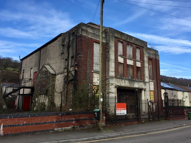
Image: © Alan Hughes Taken: 9 Mar 2017
Trehafod Community Hall - note the deterioration when you compare Image taken two years ago.
Images are licensed for reuse under creativecommons.org/licenses/by-sa/2.0
Image Location
Latitude
51.608913
Longitude
-3.37906