Upton Road, Upton
Introduction
The photograph on this page of Upton Road, Upton by Simon Carey as part of the Geograph project.
The Geograph project started in 2005 with the aim of publishing, organising and preserving representative images for every square kilometre of Great Britain, Ireland and the Isle of Man.

There are currently over 7.5m images from over 14,400 individuals and you can help contribute to the project by visiting https://www.geograph.org.uk
Upton Road, Upton
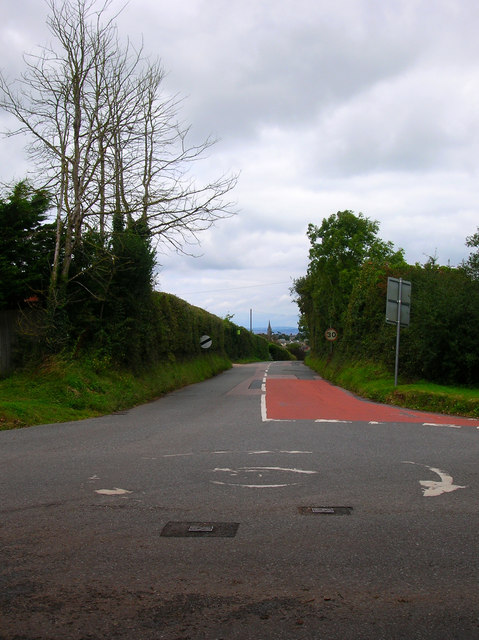
Image: © Simon Carey Taken: 19 Aug 2007
Taking from the crossroads at Upton looking towards Ryde whose All Saints church tower can be seen on the horizon.
Images are licensed for reuse under creativecommons.org/licenses/by-sa/2.0
Image Location
Latitude
50.710967
Longitude
-1.178207