View to Whitchchurch church
Introduction
The photograph on this page of View to Whitchchurch church by Philip Halling as part of the Geograph project.
The Geograph project started in 2005 with the aim of publishing, organising and preserving representative images for every square kilometre of Great Britain, Ireland and the Isle of Man.

There are currently over 7.5m images from over 14,400 individuals and you can help contribute to the project by visiting https://www.geograph.org.uk
View to Whitchchurch church
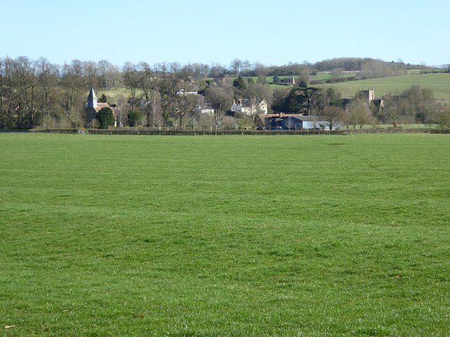
Image: © Philip Halling Taken: 9 Mar 2017
View to Whitchchurch church from near Whitchurch Farm, Alderminster church which is situated on the other side of the River Stour can be seen to the right. Whitchurch church is dedicated to St Mary and stands to the south of the River Stour, apart from an adjacent farm this is all that remains of the medieval village of Whitchurch which became depopulated and abandoned in the 15th and 16th centuries due to land clearances by the lord of the manor.
Images are licensed for reuse under creativecommons.org/licenses/by-sa/2.0
Image Location
Latitude
52.135242
Longitude
-1.671079