Motorway underpass east of Burneston
Introduction
The photograph on this page of Motorway underpass east of Burneston by Gordon Hatton as part of the Geograph project.
The Geograph project started in 2005 with the aim of publishing, organising and preserving representative images for every square kilometre of Great Britain, Ireland and the Isle of Man.

There are currently over 7.5m images from over 14,400 individuals and you can help contribute to the project by visiting https://www.geograph.org.uk
Motorway underpass east of Burneston
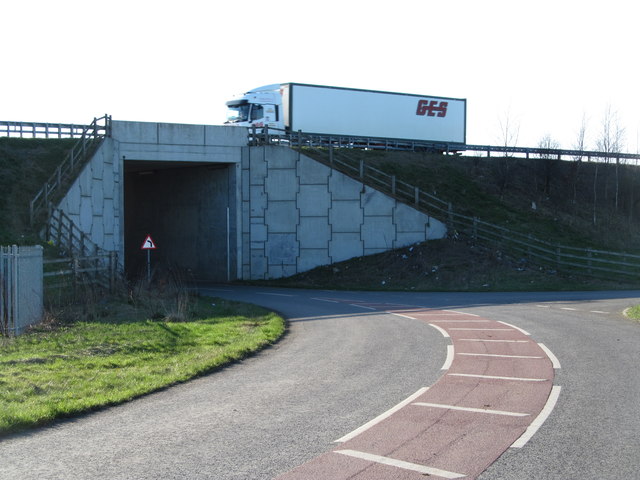
Image: © Gordon Hatton Taken: 9 Mar 2017
The 1:25000 OS map seems at odds with reality here as this is shown as a 'white road', whereas it is the realigned route for Swainby as well as farms on the east side of A1[M].
Images are licensed for reuse under creativecommons.org/licenses/by-sa/2.0
Image Location


Leaflet Map data © OpenStreetMap
Latitude
54.260234
Longitude
-1.51533