A walk to Meltham Mills Reservoir 10 - path alongside the reservoir
Introduction
The photograph on this page of A walk to Meltham Mills Reservoir 10 - path alongside the reservoir by Humphrey Bolton as part of the Geograph project.
The Geograph project started in 2005 with the aim of publishing, organising and preserving representative images for every square kilometre of Great Britain, Ireland and the Isle of Man.

There are currently over 7.5m images from over 14,400 individuals and you can help contribute to the project by visiting https://www.geograph.org.uk
A walk to Meltham Mills Reservoir 10 - path alongside the reservoir
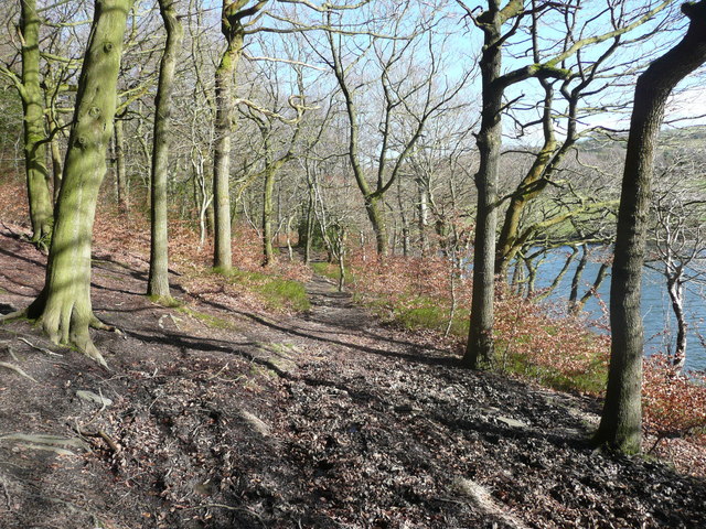
Image: © Humphrey Bolton Taken: 8 Mar 2017
This (FP38/6) seems to be a nicer path than the one that slants up the hillside, but involves a steep climb at the far end (which I have not investigated).
Images are licensed for reuse under creativecommons.org/licenses/by-sa/2.0
Image Location
Latitude
53.590685
Longitude
-1.826831