Broomfield Place
Introduction
The photograph on this page of Broomfield Place by E Gammie as part of the Geograph project.
The Geograph project started in 2005 with the aim of publishing, organising and preserving representative images for every square kilometre of Great Britain, Ireland and the Isle of Man.

There are currently over 7.5m images from over 14,400 individuals and you can help contribute to the project by visiting https://www.geograph.org.uk
Broomfield Place
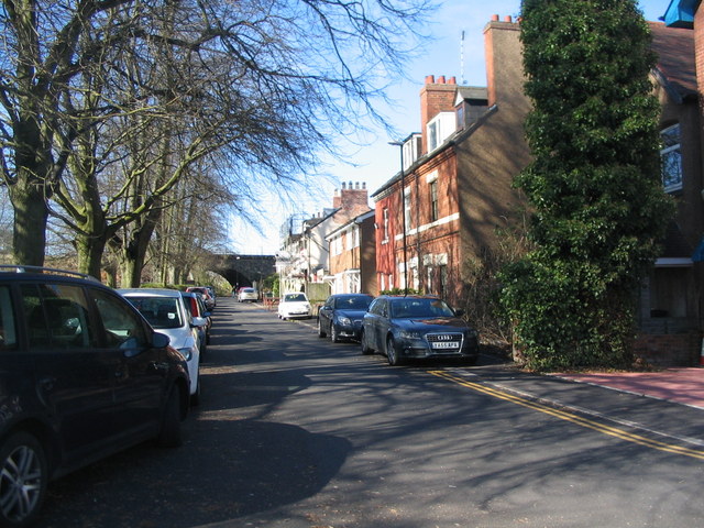
Image: © E Gammie Taken: 9 Mar 2017
At the end of the cul de sac is the first (or last) of the arches of the railway viaduct crossing the Sherbourne valley which gives pedestrian access to the other end of Broomfield Place.
Images are licensed for reuse under creativecommons.org/licenses/by-sa/2.0
Image Location
Latitude
52.407521
Longitude
-1.527351