Tigers Way, Axminster
Introduction
The photograph on this page of Tigers Way, Axminster by Jaggery as part of the Geograph project.
The Geograph project started in 2005 with the aim of publishing, organising and preserving representative images for every square kilometre of Great Britain, Ireland and the Isle of Man.

There are currently over 7.5m images from over 14,400 individuals and you can help contribute to the project by visiting https://www.geograph.org.uk
Tigers Way, Axminster
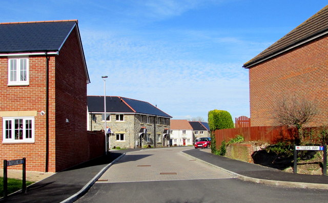
Image: © Jaggery Taken: 9 Mar 2017
Cul-de-sac on the north side of Sector Lane. There is no apostrophe in TIGERS on either of the two street name signs.
Images are licensed for reuse under creativecommons.org/licenses/by-sa/2.0
Image Location
Latitude
50.780701
Longitude
-2.98986