Farmland by the A3124
Introduction
The photograph on this page of Farmland by the A3124 by Derek Harper as part of the Geograph project.
The Geograph project started in 2005 with the aim of publishing, organising and preserving representative images for every square kilometre of Great Britain, Ireland and the Isle of Man.

There are currently over 7.5m images from over 14,400 individuals and you can help contribute to the project by visiting https://www.geograph.org.uk
Farmland by the A3124
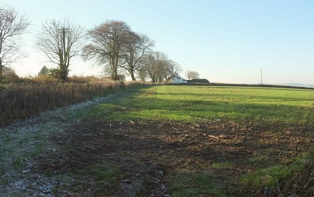
Image: © Derek Harper Taken: 30 Nov 2016
With Lane End Cottages. On the left, behind the hedge, is a track leading to them, but this isn't their principal access route.
Images are licensed for reuse under creativecommons.org/licenses/by-sa/2.0
Image Location
Latitude
50.925031
Longitude
-4.07304