Coppidhall Farm
Introduction
The photograph on this page of Coppidhall Farm by Simon Carey as part of the Geograph project.
The Geograph project started in 2005 with the aim of publishing, organising and preserving representative images for every square kilometre of Great Britain, Ireland and the Isle of Man.

There are currently over 7.5m images from over 14,400 individuals and you can help contribute to the project by visiting https://www.geograph.org.uk
Coppidhall Farm
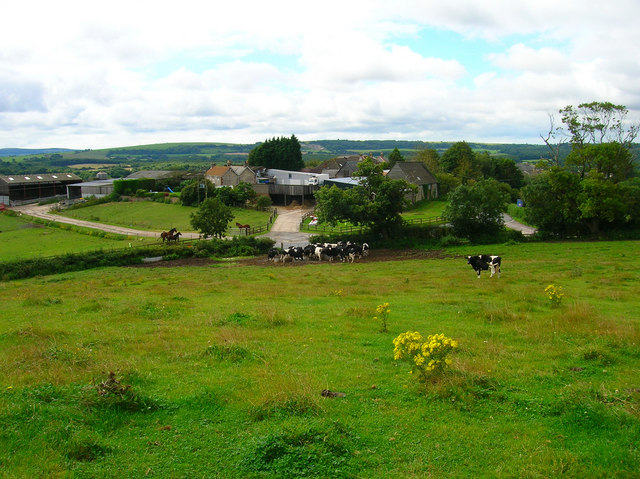
Image: © Simon Carey Taken: 19 Aug 2007
Taken from the hill to the north containing the war memorial and trig point and looking down on the farm and beyond to the downs. The footpath exits the field to the right of the cows at the junction of Main Road and Firestone Copse Road.
Images are licensed for reuse under creativecommons.org/licenses/by-sa/2.0
Image Location
Latitude
50.712483
Longitude
-1.202259