Ridingleaze Green Space, Lawrence Weston
Introduction
The photograph on this page of Ridingleaze Green Space, Lawrence Weston by Derek Harper as part of the Geograph project.
The Geograph project started in 2005 with the aim of publishing, organising and preserving representative images for every square kilometre of Great Britain, Ireland and the Isle of Man.

There are currently over 7.5m images from over 14,400 individuals and you can help contribute to the project by visiting https://www.geograph.org.uk
Ridingleaze Green Space, Lawrence Weston
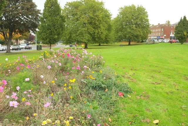
Image: © Derek Harper Taken: 19 Oct 2016
The brief sunny spell has long since ended, and I'm walking with difficulty having done my back in, but this explosion of wild flowers that has been planted on the green between Long Cross (left) and Ridingleaze cheered me up.
Images are licensed for reuse under creativecommons.org/licenses/by-sa/2.0
Image Location
Latitude
51.501508
Longitude
-2.659634