Pylon in field
Introduction
The photograph on this page of Pylon in field by Fractal Angel as part of the Geograph project.
The Geograph project started in 2005 with the aim of publishing, organising and preserving representative images for every square kilometre of Great Britain, Ireland and the Isle of Man.

There are currently over 7.5m images from over 14,400 individuals and you can help contribute to the project by visiting https://www.geograph.org.uk
Pylon in field
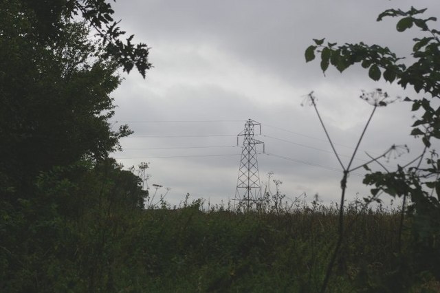
Image: © Fractal Angel Taken: 19 Aug 2007
There is no legitimate access to this square according to the map -- the one track never quite enters the square although it does get within a few metres of it in several places. Fortunately there was a break in the hedge with an unofficial track leading slightly into a field, from whence I was able to snatch this image through yet another hedge! The tops of the buildings at Manor Farm are just discernible above the foliage to the left of the pylon.
Images are licensed for reuse under creativecommons.org/licenses/by-sa/2.0
Image Location
Latitude
52.203477
Longitude
-0.632366