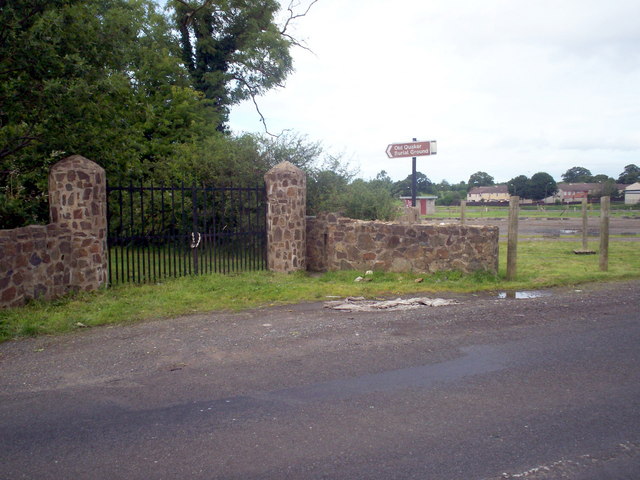
Entrance to Lynastown Quaker Burial Ground
Introduction
The photograph on this page of Entrance to Lynastown Quaker Burial Ground by P Flannagan as part of the Geograph project.
The Geograph project started in 2005 with the aim of publishing, organising and preserving representative images for every square kilometre of Great Britain, Ireland and the Isle of Man.
There are currently over 7.5m images from over 14,400 individuals and you can help contribute to the project by visiting https://www.geograph.org.uk

Image: © P Flannagan Taken: 19 Aug 2007
When one of the founding members of the local Quaker congregation, William Lynas, died in 1658, Quaker principles would not allow a Priest to conduct a burial service in the local graveyard. Lynas was therefore buried in his own land in Moyraverty. This small plot of land became known as "Lynastown" and was used for the burial of 200 Quakers until 1967, when it was transferred into the care of Craigavon Borough Council.

