Old Ferry Quay
Introduction
The photograph on this page of Old Ferry Quay by Raibeart MacAoidh as part of the Geograph project.
The Geograph project started in 2005 with the aim of publishing, organising and preserving representative images for every square kilometre of Great Britain, Ireland and the Isle of Man.

There are currently over 7.5m images from over 14,400 individuals and you can help contribute to the project by visiting https://www.geograph.org.uk
Old Ferry Quay
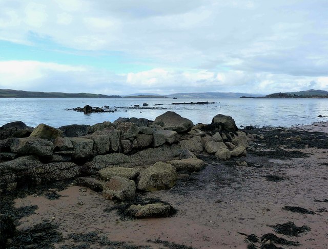
Image: © Raibeart MacAoidh Taken: 6 Mar 2017
The remains of the Old Ferry Quay below Ferry Row.. Ferry Row (Middle Row) was where the fishermen and ferrymen lived. The Old Ferry Quay became known as Knox's Rocks, as Knox White, an old Fairlie worthy, hired boats in this area in the 1920s and 1930s.
Images are licensed for reuse under creativecommons.org/licenses/by-sa/2.0
Image Location
Latitude
55.755632
Longitude
-4.856884