Housing at Shiphay
Introduction
The photograph on this page of Housing at Shiphay by Derek Harper as part of the Geograph project.
The Geograph project started in 2005 with the aim of publishing, organising and preserving representative images for every square kilometre of Great Britain, Ireland and the Isle of Man.

There are currently over 7.5m images from over 14,400 individuals and you can help contribute to the project by visiting https://www.geograph.org.uk
Housing at Shiphay
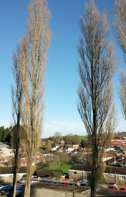
Image: © Derek Harper Taken: 28 Feb 2017
A view between two of the poplars shown in Image] of houses on Crosspark Avenue and Higher Cadewell Lane, plus the green space, curving path and trees on the other side of the junction.
Images are licensed for reuse under creativecommons.org/licenses/by-sa/2.0
Image Location
Latitude
50.481799
Longitude
-3.561497