Binstead Road, Binstead
Introduction
The photograph on this page of Binstead Road, Binstead by Simon Carey as part of the Geograph project.
The Geograph project started in 2005 with the aim of publishing, organising and preserving representative images for every square kilometre of Great Britain, Ireland and the Isle of Man.

There are currently over 7.5m images from over 14,400 individuals and you can help contribute to the project by visiting https://www.geograph.org.uk
Binstead Road, Binstead
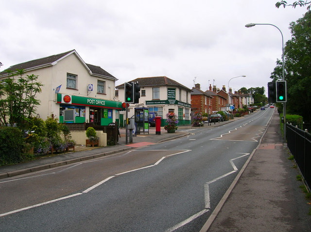
Image: © Simon Carey Taken: 19 Aug 2007
Looking up the road toward the peak of Binstead Hill. The small village has been virtually swallowed by Ryde and become its suburb, modern postwar housing estates occupy the land south of the main road though the leafier lanes survive to the north. The road in view is the A3054 which links Ryde to Newport as well as the car ferries to Portsmouth at Fishbourne.
Images are licensed for reuse under creativecommons.org/licenses/by-sa/2.0
Image Location
Latitude
50.727132
Longitude
-1.187984