Boldon Fellgate farmland
Introduction
The photograph on this page of Boldon Fellgate farmland by Christine Johnstone as part of the Geograph project.
The Geograph project started in 2005 with the aim of publishing, organising and preserving representative images for every square kilometre of Great Britain, Ireland and the Isle of Man.

There are currently over 7.5m images from over 14,400 individuals and you can help contribute to the project by visiting https://www.geograph.org.uk
Boldon Fellgate farmland
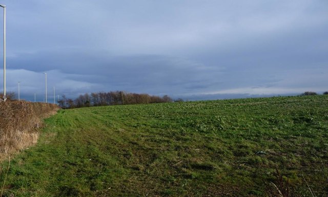
Image: © Christine Johnstone Taken: 25 Feb 2017
Immediately south of Durham Drive, the peripheral road round Fellgate housing estate.
Images are licensed for reuse under creativecommons.org/licenses/by-sa/2.0
Image Location
Latitude
54.950767
Longitude
-1.489418