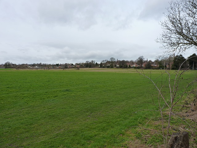
Open ground and playing fields
Introduction
The photograph on this page of Open ground and playing fields by Richard Law as part of the Geograph project.
The Geograph project started in 2005 with the aim of publishing, organising and preserving representative images for every square kilometre of Great Britain, Ireland and the Isle of Man.
There are currently over 7.5m images from over 14,400 individuals and you can help contribute to the project by visiting https://www.geograph.org.uk

Image: © Richard Law Taken: 28 Feb 2017
A large area of undeveloped land in the middle of Erdington. The far side of this photo includes the St Barnabas Primary School, so it's a fair bet that part of the field belongs to them as playing fields, and there's a pair of rugby goals at either end of a pitch just to the right. Quite what the rest of the area is used for, is rather more of a mystery.

